
Alberta, most westerly of Canada’s three Prairie Provinces, occupying the continental interior of the western part of the country. To the north the 60th parallel (latitude 60° N) forms its boundary with the Northwest Territories, to the east the 110th meridian (longitude 110° W) forms the boundary with its prairie neighbour, Saskatchewan, to the south the 49th parallel forms the international boundary with the U.S. state of Montana, and to the west the boundary with British Columbia is formed by the 120th meridian and the crest of the Rocky Mountains. The province is about 750 miles (1,200 km) in extent from north to south and about 400 miles (640 km) across at the greatest width. Alberta was established as a district of the North-West Territories in 1882 and was enlarged to its present boundaries on becoming a province in 1905. The provincial government has its seat in Edmonton.
Quick Facts about Alberta:
- Population:4,444,277
- Land Area:661,848 Sq. Km.
- Pop. Density:6 people per square kilometer (4th most populous province of Canada)
- Major Cities:Calgary, Edmonton, Red Deer, Lethbridge, and St. Albert.
- Capital City:Edmonton
- Average Income:$92,300 median family income
- Winter:in the coldest months of the year, January and February, daytime temperatures range from -5 to -15°C (23 to 5°F). They can drop as low as -30 to -40°C (-22 to -40°F) for short periods of time.
- Cost of Living:1100 CAD per month for single person and 2300 CAD/month for a family of 2 people. The average annual cost of shelter in Alberta is CA$14,000.
Other Province & Opportunities
We offer more than 9 provinces for you to choose for your immigration pathway.

British Columbia
British Columbia, Canada's westernmost province, is defined by its Pacific coastline and mountain r...
Read More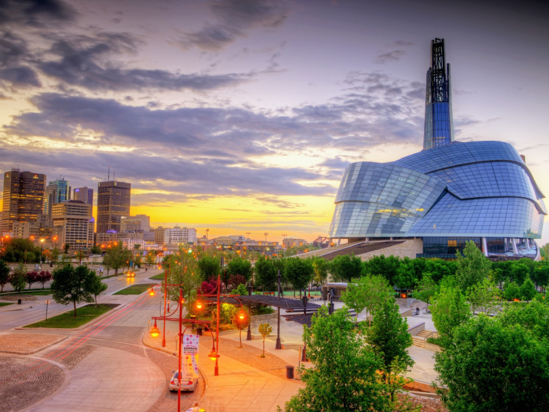
Manitoba
Manitoba is a Canadian province bordered by Ontario to the east and Saskatchewan to the west. Its l...
Read More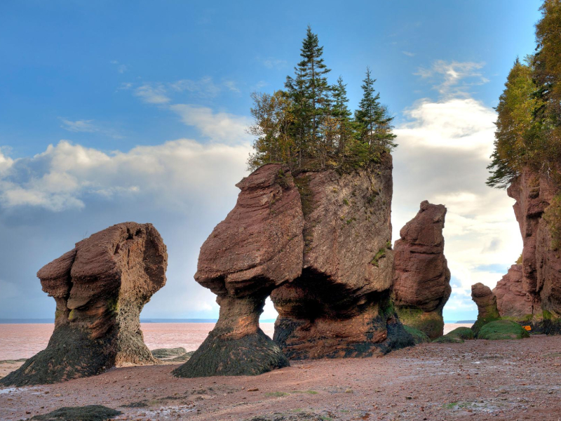
New Brunswick
New Brunswick, Canadian province located on the eastern seaboard of the North American continent. I...
Read More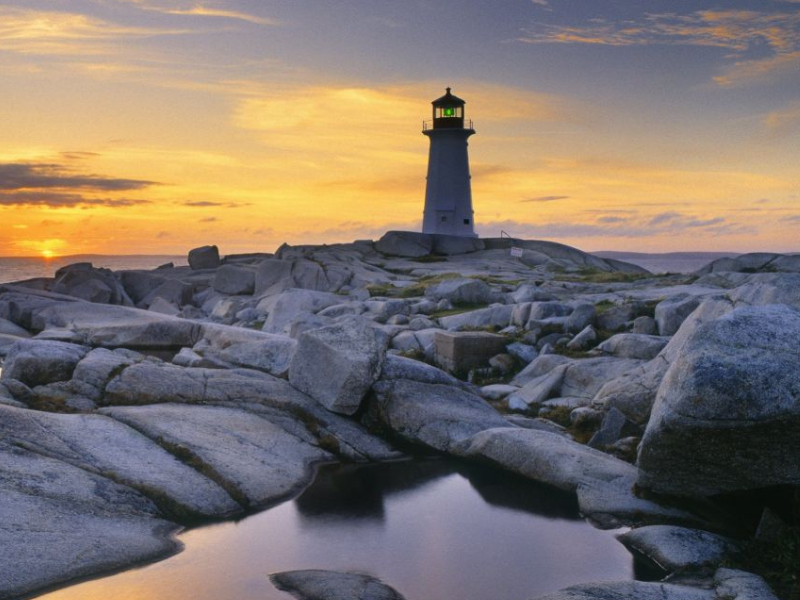
Nova Scotia
Nova Scotia is one of the founding provinces of Canada. Almost totally surrounded by water, Nova Sc...
Read More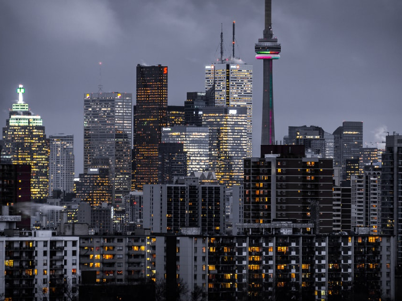
Ontario
Ontario is a study in contrasts. The varied landscape includes the vast, rocky and mineral-rich Can...
Read More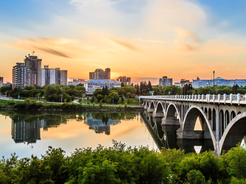
Saskatchewan
A Province, that millions of years ago, a large landmass of Saskatchewan formed the bottom of a sea...
Read More
Yukon
The Yukon, a territory in northwest Canada, is wild, mountainous and sparsely populated. Kluane Nat...
Read MoreConsultations for prospective immigrants
Get in touch with us using our web form, just leave detailed message and we will return with top-notch consultation and a proper pathway to immigrate to Canada.
Get Consultation